
Thirty something years ago we lived in both Santiago and Montevideo. In those days the difference between the cities was notable. The Chilean economy was booming based upon investments into mining and forest products. Santiago was vibrant, growing in front of our eyes – new cars, retail outlets, apartment blocks springing up everywhere. Uruguay, meanwhile had a sleepy steady feel, the Switzerland of South America, the summer playground of the rich and privileged from across Latin America.
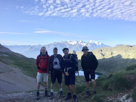
Late in 2024 we spent a bit more time in both cities – it was a chance to dig a bit deeper and understand the places. Inevitably the comparisons start. Team Santiago or Team Montevideo?
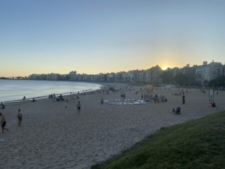
In Montevideo we rented an apartment close to the beach. Montevideo is surrounded by beaches and has one of the (the?) longest ramblas in the world – a road with pavement alongside it, that runs for over 22km alongside beaches fronting the Rio de la Plata. It’s what defines the city.
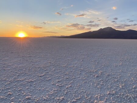
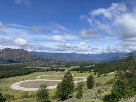
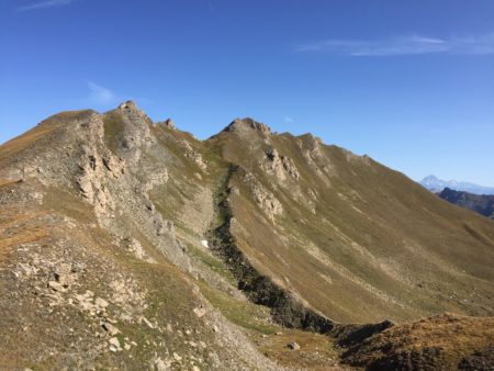
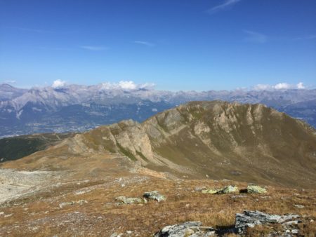
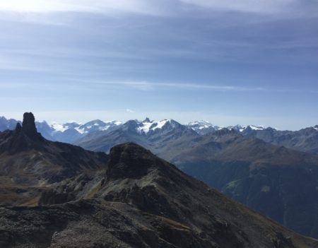
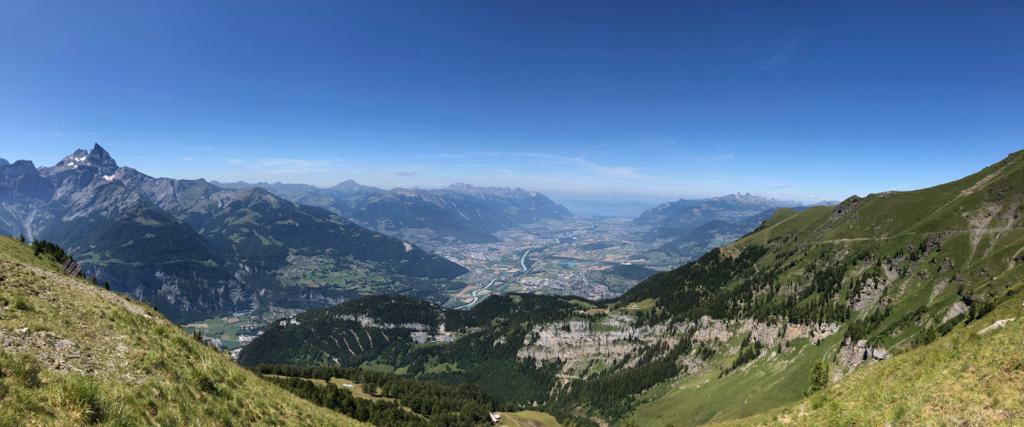
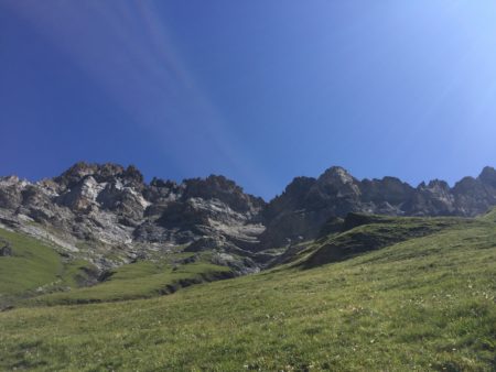
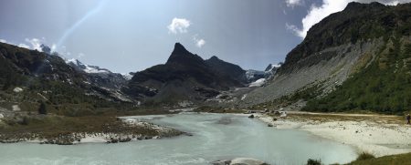
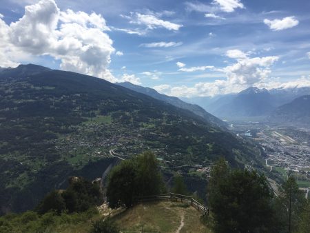
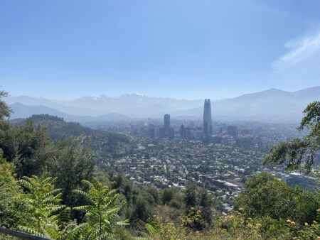
Santiago meanwhile nestles in a bowl with the Andes on one side towering over the city. When we lived there the mountains were not always visible – pollution hung over the city blanking out the mountains. That’s not the case now – polluting industries and old diesel vehicles have been retired and El Plomo, the mountain that hangs over Santiago is now visible. We rented an apartment close to our former home in Las Condes.
Team Montevideo
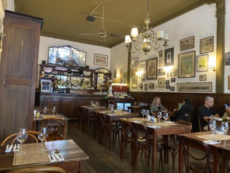
Montevideo looks very much the same as it did in 1994 when we left. For sure there are some new smart houses on the outskirts, but the central area and old town look the same. They have seen little investment – the whole central area has a slightly decrepit air. But look carefully and there are specialist bookshops galore, art galleries, well preserved historic cafes and superb (steak) restaurants.
There is also a fascinating historical backdrop which I had not appreciated when we lived there, but was able to dig into during our recent trip.
José Battle y Ordóñez, was President of Uruguay from 1903-07 and again from 1911-15. He brought stability to the country in his first term, ending the series of civil wars. In his second term he introduced radical social programmes – education, healthcare (the world’s first national healthcare system), divorce reform, public infrastructure and constitutional reform. I visited a national museum – the Casa Quinta de José Battle y Ordóñez which was his residence. The Casa is a simple house, which I had to myself – the living quarters preserved as was, and a study where you could feel the presence of the man who was instrumental in shaping the country.
Uruguay has a long and proud history around football, which the British introduced and built up. Uruguay has won the World Cup twice, and they continue to be a force in World Cups, despite being a nation of only 3.4 million people. From Beauty to Duty describes the fascinating history of the early days of football, the role of the railways and the rivalry with Argentina.
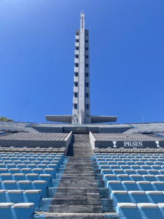
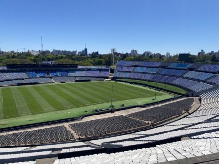
El Centenario is the national football stadium, built for the first World Cup in 1930, and now declared a historic monument of world football (admittedly by that august body FIFA). It has an extraordinary presence – completely open to the sky, and with an iconic tower. Originally conceived for 100,000 spectators its capacity is now closer to 60,000 seated. It also has a museum with a fascinating exhibition showcasing Uruguay’s triumphs in World Cups past, plus mementos of all the greats who have played there. An interesting English interest was a framed tactical sheet of the Manchester United team from the 1968 Inter-Continental Cup between Estudiantes de la Plata and Manchester Utd (played in La Bombanera in BsAs). Ah… the days before iPads.
Tortured Histories
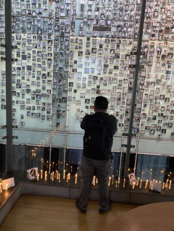
Montevideo also has a past hidden away in plain sight, the marks of the internal urban war between the Tupamaros and the security services during the 1960s and 1970s. During our time in Uruguay (1991-1994) the memories were clearly still too raw to learn much. There was a scrawled logo of the Tupamaros inside the house we rented there, so a former resident was clearly a supporter. But in four years living in Uruguay I only had one conversation about that period of the country’s history. Now the discussion is more open – helped no doubt by Pepe Mujica (a former Tupamaros guerrilla) being elected as President and finding himself a national treasure. There is a Museo de la Memoria and ordinary houses that were used as torture centres are now marked as such for all to see and remember.
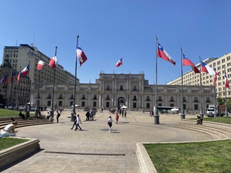
Chile’s approach to the past has also evolved. During our time there – the last year of the dictatorship and first year of democracy – there was active and open discussion about what happened, even if the framing started from how bad the period under Salvador Allende was. Today there is an explicit attempt at remembrance for those that lost their lives and the atrocities of the dictatorship. There is an excellent museum of Memoria y de los Derechos Humanos, with groups of school children going around. However, it pointedly focusses upon the dictatorship and avoids a broader analysis of human rights and the historical injustices suffered by Chile’s 11 different indigenous groups. So the Memoria is still selective. And not everyone agrees with the rewritten history. One morning I was taking a photo of the statue of Salvador Allende next to the Moneda Palace and an elderly lady sidled up to me and hissed that he did not deserve to be remembered.
Team Santiago
Unlike Montevideo, the infrastructure of Santiago has changed dramatically. The historical centre is still there, with several excellent museums. But most business has moved out – it’s a shadow of its former self, and there is an edge to the streets. Chile has taken in large numbers of migrants from further north, and they have brought organised crime and gang violence, which has been a major influence in the recent (2025) elections. A new uptown centre of gravity has been created for commercial and financial activity. The former suburbs have had their traditional houses torn down to make space for office buildings and apartment blocks. Towering over the new uptown area is a 62 story skyscraper – the Gran Torre Costenera. The tallest building in South America is simply known as El Costenara.
In 1989-91 El Costenera was a mad, scary road. 6 lanes from the suburbs down to the central financial district. With a twist. It changed direction several times a day, so in the morning rush hour it was 5 lanes in the direction of the centre (and one lane up to the suburbs). In the evening rush hour it reversed to be 5 lanes back upto the suburbs. In between those times it was 3 lanes in each direction. It was controlled by a series of traffic lights at major interchanges, but there were multiple blind entry points that weren’t controlled by lights. The risky time to drive on it was around the changeover times when drivers could be caught out. Several times I was in a wave of cars heading one way, only to find cars in the middle of the road hurtling towards us the wrong way.
Thankfully that road no longer exists. It is part of a complete remodelling of transport systems to get around the city. Back in 1989-1991 the road from the airport meandered around the outskirts of the city where brickworks and stray dogs abounded. Now the route into town is a direct highway, much of it underneath the river, disgorging travellers in double quick time into the centre. Trees have been planted on pavements to provide shade and make walking more pleasant. The metro system, which had 2 lines when we lived there, now has 7, and is a superb way to get around. It makes London look antiquated.
Santiago still has a few of the old restaurants – we were able to find an old favourite seafood restaurant, and a waitress who had been there when we were patrons 35 years ago. It was full of people appreciating food as it has always been served. But the main culinary action is now elsewhere – high class eating establishments where people are taking note of who is lunching with who. Santiago is up there with global cities in the culinary stakes.
The Verdict?
So, two very different cities. Montevideo, solid, comfortable in its skin, somewhat down at heel, but with real gems, culture, and history. The beaches full of people every evening drinking mate, and watching the sun go down, enjoying life. Santiago all shiny and new, swanky restaurants, vibrant and reinventing itself. Looking ahead and for the next deal, yet looking over its shoulder, anxious about the consequences of immigration and what it might become. These two cities may even act as broader metaphors for the direction of cities and societies on other continents.
Team Santiago or Team Montevideo? Actually there is no need to choose. They play in different leagues. And they are both great places to live and spend some time.